![]()
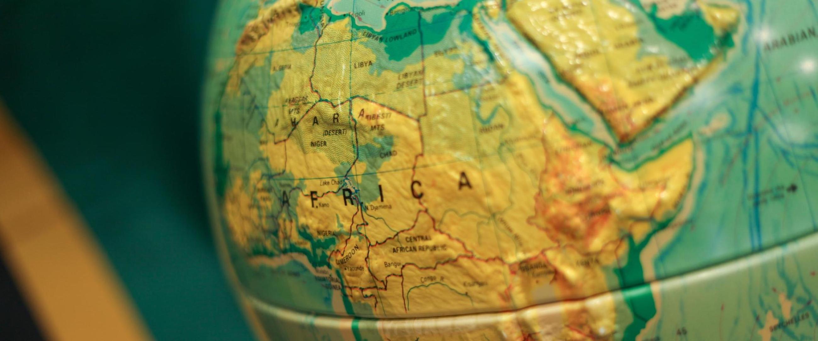
As the human impact on the environment continues to grow, so does the need for trained professionals in environmental fields that integrate the biological, physical, and earth sciences.
Students gain hands-on learning experiences both in and out of the classroom, especially in the form of student-faculty research collaborations or faculty-supervised research projects. They also conduct cutting-edge research in environmental studies, geography, marine science, and science education.
The B.A. in Geography allows for maximum flexibility for our students to explore other coursework in the context of a liberal arts education. We encourage students to supplement their BA in Geography with the completion of a minor (by advisement) which will allow students to apply disciplinary skills (e.g., multi-scalar analysis, geographical thinking, etc.) in an interdisciplinary context.
The BS in Geography with a concentration in Geographic Information Science and Technology prepares students for employment and/or graduate school in the rapidly expanding geospatial technology sector. After completion of the geography core, students will take advanced coursework in Geographic Information Systems, Geospatial Analysis and Data Visualization, Remote Sensing, and/or Field Techniques. This program has an applied focus and aims to engage students through hands-on projects using the latest geospatial technologies.
Learning Outcomes
- Geographic Knowledge
- Students will be able to analyze and compare/contrast spatial distributions and patterns, spatial associations and relationships, and the underlying processes that shape these phenomena.
- Students will be able to classify regions and describe how regions are constructed and applied in geographic analysis.
- Students will be able to identify patterns and processes of spatial interaction, movement, and diffusion, to explain their significance, and to understand analytical methods.
- Students will be able to identify examples of human-environmental interaction and assess their past, present, and future impact.
- Students will be able to articulate the significance of scale for the analysis of geographic patterns and processes.
- Geographic Skills and Methods
- Considering geography’s inherent inter-disciplinarity, students will be able to demonstrate abilities in critical thinking and intellectual synthesis including multidisciplinary synthesis.
- Students will be able to demonstrate effective written communication related to geographic knowledge.
- Students will be able to demonstrate effective oral communication skills related to geographic knowledge.
- Students will be able to display evidence of hands on learning, effectively engage in collaborative projects, and exhibit professional judgment, responsibility, and dependability.
- Students will be able to conduct basic research through the development of a research question, the selection of appropriate research methods, and the execution of suitable methods of data collection.
- Students will be able to identify, evaluate and integrate scholarly literature.
- Students will be able to integrate, manage, process, and analyze spatial and statistical data.
- Students will be able to critically evaluate maps, draft quality cartographic products, and visually communicate spatial data.
- Students will be able to demonstrate abilities in geospatial technologies and apply those technologies to geographic analyses.
- Geographic Thought
- Students will be able to define major epistemologies and identify and evaluate examples of geographic scholarship.
- Students will be able to define and assess the qualitative and quantitative traditions of the discipline.
- Students will be able to apply geographic knowledge, skills and methods in a professional setting.
Concentrations
Geography, B.A.
Students study the behavioral and social aspects of geography through courses such as physical and human geography, as well as economic and political geography. This program allows for maximum flexibility for our students to explore other coursework in the context of a liberal arts education. We encourage students to supplement their B.A. in Geography with the completion of a minor (by advisement) which will allow students to apply disciplinary skills (e.g., multi-scalar analysis, geographical thinking, etc.) in an interdisciplinary context.
Geography, B.S. - Geographic Information Science and Technology
Students learn the fundamentals of geography and, through hands-on projects using the latest geospatial technologies, the different scientific tools to study the relationships between earth’s systems.
After completion of the geography core, students take advanced coursework in Geographic Information Systems, Geospatial Analysis and Data Visualization, Remote Sensing, and/or Field Techniques. This program has an applied focus and aims to engage students through hands-on projects using the latest geospatial technologies.
Careers
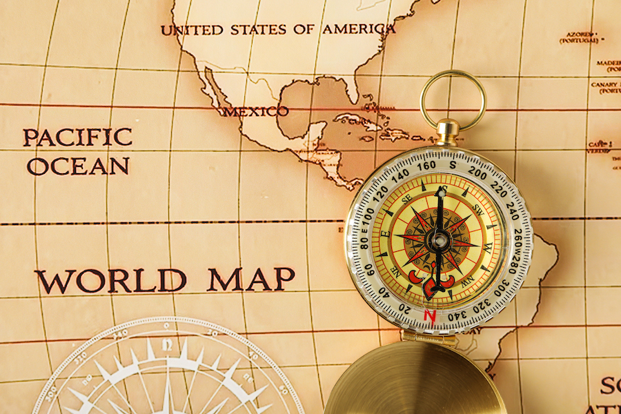
A degree in Geography opens the door to a wide range of exciting and diverse career opportunities. Geography professionals are in high demand because of their unique skills in spatial analysis, data interpretation, and a deep understanding of the relationships between people and their environments.
Typical Job Titles
- Botanist
- Ecologist or Restoration Ecologist
- Environmental Educator
- Fisheries Biologist
- Forester
- Geographic Information System (GIS) Specialist
- Marine Biologist
- Oceanographer
- Park Ranger
- Soil Scientist
- Wildlife Biologist
Research and Educational Opportunities
The Werth Center for Coastal and Marine Studies (WCCMS) provides innovative research and educational opportunities for all undergraduates and serves as a model for facilitating faculty collaboration in teaching and research.
Study Abroad
Southern provides students with the option of two short-term study-abroad experiences. You can choose to spend your summer in Iceland, earning 6 credits, or explore South Africa during the winter for 3 credits. Both programs count directly for the major and allow you to get ahead in credits over your break.
School / College
College of Arts & Sciences
Department
Environment, Geography, and Marine Sciences
Contact
C. Patrick Heidkamp
Matthew Miller